A92
Introduction
The photograph on this page of A92 by Anne Burgess as part of the Geograph project.
The Geograph project started in 2005 with the aim of publishing, organising and preserving representative images for every square kilometre of Great Britain, Ireland and the Isle of Man.

There are currently over 7.5m images from over 14,400 individuals and you can help contribute to the project by visiting https://www.geograph.org.uk
A92
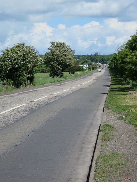
Image: © Anne Burgess Taken: 4 Jun 2017
This is the road to Montrose and eventually Stonehaven and Aberdeen. In the distance it passes through Marywell, entering the next grid square there. The flowering trees at the roadside are Hawthorn.
Images are licensed for reuse under creativecommons.org/licenses/by-sa/2.0
Image Location
Latitude
56.580398
Longitude
-2.573465