Seaton Den Path
Introduction
The photograph on this page of Seaton Den Path by Anne Burgess as part of the Geograph project.
The Geograph project started in 2005 with the aim of publishing, organising and preserving representative images for every square kilometre of Great Britain, Ireland and the Isle of Man.

There are currently over 7.5m images from over 14,400 individuals and you can help contribute to the project by visiting https://www.geograph.org.uk
Seaton Den Path
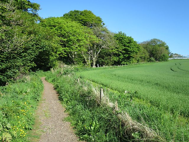
Image: © Anne Burgess Taken: 4 Jun 2017
The path skirts a field here before entering the shade of the trees in the Den itself.
Images are licensed for reuse under creativecommons.org/licenses/by-sa/2.0
Image Location
Latitude
56.574512
Longitude
-2.543754