Road junction, Sandhills
Introduction
The photograph on this page of Road junction, Sandhills by Robin Webster as part of the Geograph project.
The Geograph project started in 2005 with the aim of publishing, organising and preserving representative images for every square kilometre of Great Britain, Ireland and the Isle of Man.

There are currently over 7.5m images from over 14,400 individuals and you can help contribute to the project by visiting https://www.geograph.org.uk
Road junction, Sandhills
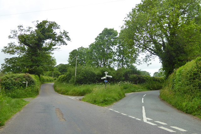
Image: © Robin Webster Taken: 4 Jun 2017
The sign post not only tells you which way the roads go, but where you are:'Sandhills, Dorset, 585004'. This last is the OS National grid reference, leaving out the ST prefix.
Images are licensed for reuse under creativecommons.org/licenses/by-sa/2.0
Image Location
Latitude
50.802113
Longitude
-2.590133