The northern corner of King George's Playing Fields
Introduction
The photograph on this page of The northern corner of King George's Playing Fields by Marathon as part of the Geograph project.
The Geograph project started in 2005 with the aim of publishing, organising and preserving representative images for every square kilometre of Great Britain, Ireland and the Isle of Man.

There are currently over 7.5m images from over 14,400 individuals and you can help contribute to the project by visiting https://www.geograph.org.uk
The northern corner of King George's Playing Fields
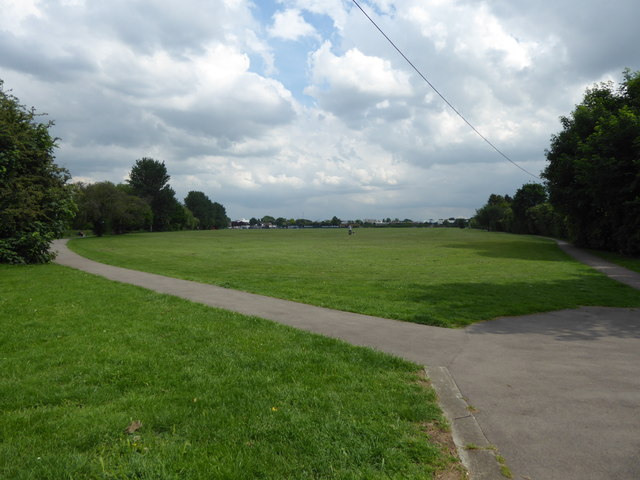
Image: © Marathon Taken: 31 May 2017
King George's Playing Fields were originally known as Mawney Park after the old manor of Mawneys. As Romford expanded, the Mawneys Estate was sold for housing development in 1883 although the land here remained as fields, and partly allotment gardens. In 1928 it was acquired and laid out as a recreation ground. Later Romford Borough Council received funding of £3,000 from the King George's Fields Foundation, and as a consequence it was renamed King George's Playing Fields. The boundaries are almost the same as those of the old fields, although the southern boundary is now the A12 (Eastern Avenue). The River Rom forms the eastern boundary of the park and is just beyond the trees on the left.
Images are licensed for reuse under creativecommons.org/licenses/by-sa/2.0
Image Location
Latitude
51.586471
Longitude
0.163455