Daybreak in the Blackmore Vale
Introduction
The photograph on this page of Daybreak in the Blackmore Vale by Andrew Smith as part of the Geograph project.
The Geograph project started in 2005 with the aim of publishing, organising and preserving representative images for every square kilometre of Great Britain, Ireland and the Isle of Man.

There are currently over 7.5m images from over 14,400 individuals and you can help contribute to the project by visiting https://www.geograph.org.uk
Daybreak in the Blackmore Vale
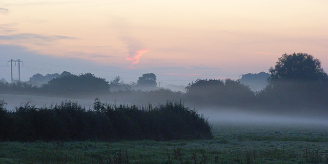
Image: © Andrew Smith Taken: 27 Aug 2007
Looking east from the A352 at Holnest at 6am on an autumnal August bank holiday morning. Here the flat pastures are drained by The Cam and its tributaries, the waters of which make their way to the Stour via Caundle Brook and the River Lydden. This is the western end of Hardy's "Vale of the Little Dairies".
Images are licensed for reuse under creativecommons.org/licenses/by-sa/2.0
Image Location


Leaflet Map data © OpenStreetMap
Latitude
50.88846
Longitude
-2.489005