Wilmington Way
Introduction
The photograph on this page of Wilmington Way by Simon Carey as part of the Geograph project.
The Geograph project started in 2005 with the aim of publishing, organising and preserving representative images for every square kilometre of Great Britain, Ireland and the Isle of Man.

There are currently over 7.5m images from over 14,400 individuals and you can help contribute to the project by visiting https://www.geograph.org.uk
Wilmington Way
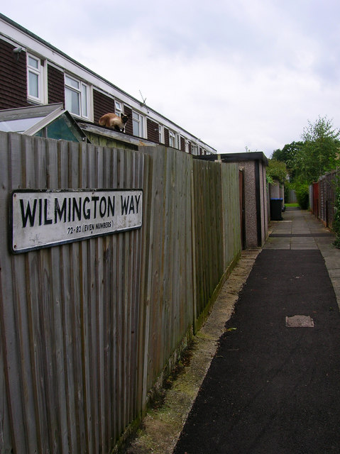
Image: © Simon Carey Taken: 30 Aug 2007
Council estate built around 1970 on the eastern side of town. The terraces are interspersed with green areas and paths linking the rows. A local cat keeps an eye on my activities.
Images are licensed for reuse under creativecommons.org/licenses/by-sa/2.0
Image Location
Latitude
51.003455
Longitude
-0.08443