Nettly Burn
Introduction
The photograph on this page of Nettly Burn by Keith Proven as part of the Geograph project.
The Geograph project started in 2005 with the aim of publishing, organising and preserving representative images for every square kilometre of Great Britain, Ireland and the Isle of Man.

There are currently over 7.5m images from over 14,400 individuals and you can help contribute to the project by visiting https://www.geograph.org.uk
Nettly Burn
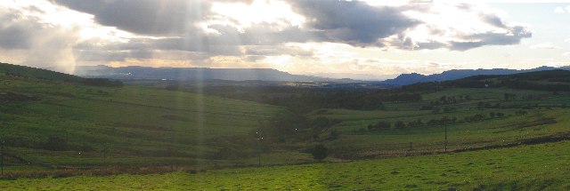
Image: © Keith Proven Taken: 16 Sep 2005
Looking West along the Nettly Burn from Outh on the A823. Stirling lies in the distance and there are rain squalls in the Forth Valley
Images are licensed for reuse under creativecommons.org/licenses/by-sa/2.0
Image Location


Leaflet Map data © OpenStreetMap
Latitude
56.1366
Longitude
-3.515743