St Peter's Church of England Primary School, Fabians Way, Henfield
Introduction
The photograph on this page of St Peter's Church of England Primary School, Fabians Way, Henfield by Simon Carey as part of the Geograph project.
The Geograph project started in 2005 with the aim of publishing, organising and preserving representative images for every square kilometre of Great Britain, Ireland and the Isle of Man.

There are currently over 7.5m images from over 14,400 individuals and you can help contribute to the project by visiting https://www.geograph.org.uk
St Peter's Church of England Primary School, Fabians Way, Henfield
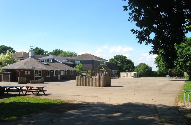
Image: © Simon Carey Taken: 1 Jun 2017
The school opened in 1957 initially as an addition to Image before replacing it fully in the mid 1980s. The building itself has undergone a number of expansions to accommodate the growing population of the village. After completing their education here pupils transfer to either Downlands in Hassocks or Steyning Grammar School.
Images are licensed for reuse under creativecommons.org/licenses/by-sa/2.0
Image Location
Latitude
50.934914
Longitude
-0.280096