Former Royal Oak Inn
Introduction
The photograph on this page of Former Royal Oak Inn by Gordon Hatton as part of the Geograph project.
The Geograph project started in 2005 with the aim of publishing, organising and preserving representative images for every square kilometre of Great Britain, Ireland and the Isle of Man.

There are currently over 7.5m images from over 14,400 individuals and you can help contribute to the project by visiting https://www.geograph.org.uk
Former Royal Oak Inn
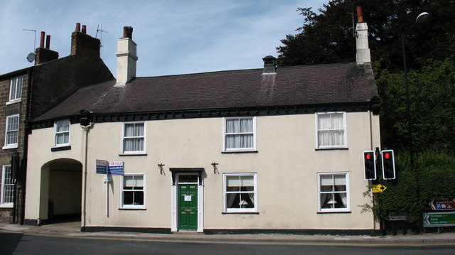
Image: © Gordon Hatton Taken: 31 Aug 2007
This property on the junction of High Street and Bond End in Knaresborough was the Royal Oak Inn until the 1990's. Now a private house on a busy corner.
Images are licensed for reuse under creativecommons.org/licenses/by-sa/2.0
Image Location
Latitude
54.01154
Longitude
-1.470613