Silloth from the air
Introduction
The photograph on this page of Silloth from the air by Thomas Nugent as part of the Geograph project.
The Geograph project started in 2005 with the aim of publishing, organising and preserving representative images for every square kilometre of Great Britain, Ireland and the Isle of Man.

There are currently over 7.5m images from over 14,400 individuals and you can help contribute to the project by visiting https://www.geograph.org.uk
Silloth from the air
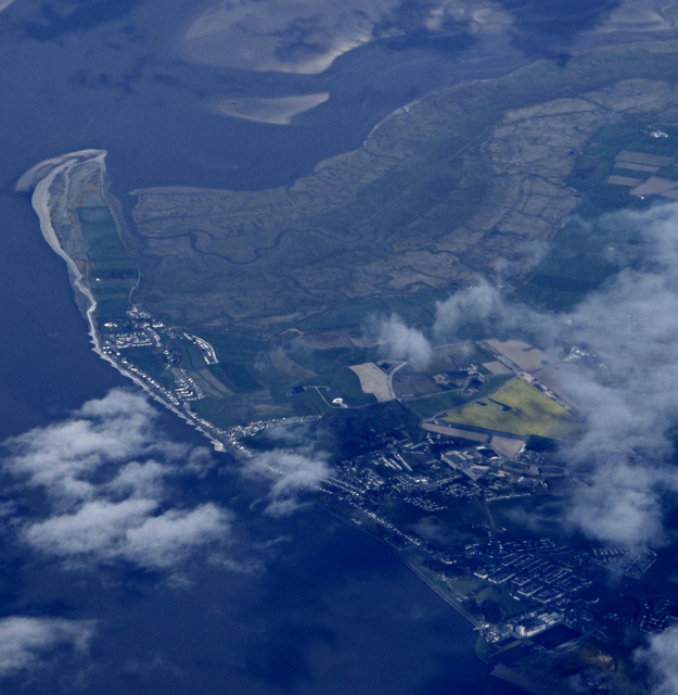
Image: © Thomas Nugent Taken: 17 Apr 2017
Silloth Docks can be seen in the lower right corner. The former RAF Silloth airfield https://en.wikipedia.org/wiki/RAF_Silloth is marked by the splash of yellow. Grune Point is in the top left corner.
Images are licensed for reuse under creativecommons.org/licenses/by-sa/2.0
Image Location
Latitude
54.868237
Longitude
-3.396091