Blind Lane, Goudhurst
Introduction
The photograph on this page of Blind Lane, Goudhurst by Robin Webster as part of the Geograph project.
The Geograph project started in 2005 with the aim of publishing, organising and preserving representative images for every square kilometre of Great Britain, Ireland and the Isle of Man.

There are currently over 7.5m images from over 14,400 individuals and you can help contribute to the project by visiting https://www.geograph.org.uk
Blind Lane, Goudhurst
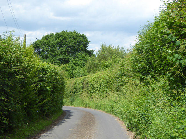
Image: © Robin Webster Taken: 1 Jun 2017
Such a name often means a dead-end, but not in this case - just blind corners.
Images are licensed for reuse under creativecommons.org/licenses/by-sa/2.0
Image Location
Latitude
51.11701
Longitude
0.4601