Road name plaque at the north end of Macinish Road
Introduction
The photograph on this page of Road name plaque at the north end of Macinish Road by Eric Jones as part of the Geograph project.
The Geograph project started in 2005 with the aim of publishing, organising and preserving representative images for every square kilometre of Great Britain, Ireland and the Isle of Man.

There are currently over 7.5m images from over 14,400 individuals and you can help contribute to the project by visiting https://www.geograph.org.uk
Road name plaque at the north end of Macinish Road
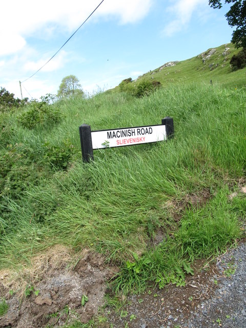
Image: © Eric Jones Taken: 19 May 2016
Practically every minor road in Northern Ireland has a name and each name is displayed on a sign. In addition, it has become the norm to add in red the name of the townland through which the road runs. In this instance, Macinish Road runs through the Townland of Slievenisky. Road names are also displayed on OSNI 25,000 maps and all 1:50,000 maps have on their reverse side a map and an index of the townlands in the area covered by the map.In marked contrast the names of local roads in the Republic are not displayed either on the ground or on 1:50,000 maps. Instead, some local roads have a sign displaying their L number, but these are not shown on OS maps, and neither are the townland boundaries. https://en.wikipedia.org/wiki/Local_roads_in_Ireland
Images are licensed for reuse under creativecommons.org/licenses/by-sa/2.0
Image Location
Latitude
54.317998
Longitude
-5.963339