Along Tinker's Leen
Introduction
The photograph on this page of Along Tinker's Leen by John Sutton as part of the Geograph project.
The Geograph project started in 2005 with the aim of publishing, organising and preserving representative images for every square kilometre of Great Britain, Ireland and the Isle of Man.

There are currently over 7.5m images from over 14,400 individuals and you can help contribute to the project by visiting https://www.geograph.org.uk
Along Tinker's Leen
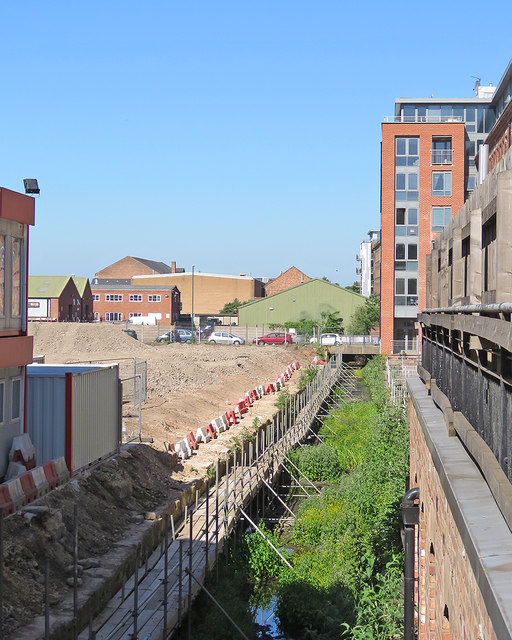
Image: © John Sutton Taken: 26 May 2017
The former Hicking Pentecost textile works, now flats, is on the right. Flats for rent are to be built on the cleared industrial site to the left, fronting Crocus Street.
Images are licensed for reuse under creativecommons.org/licenses/by-sa/2.0
Image Location
Latitude
52.945822
Longitude
-1.141272