Leurbost Woodland
Introduction
The photograph on this page of Leurbost Woodland by david glass as part of the Geograph project.
The Geograph project started in 2005 with the aim of publishing, organising and preserving representative images for every square kilometre of Great Britain, Ireland and the Isle of Man.

There are currently over 7.5m images from over 14,400 individuals and you can help contribute to the project by visiting https://www.geograph.org.uk
Leurbost Woodland
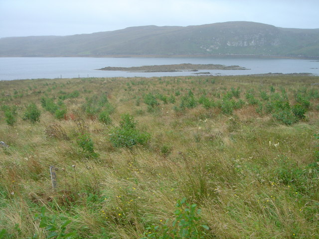
Image: © david glass Taken: 29 Aug 2007
A small (1.04ha) crofter forestry scheme planted in spring 2006. Consisting of native broadleaves, predominantly Alder. A very successful scheme on what was improved croft land.
Images are licensed for reuse under creativecommons.org/licenses/by-sa/2.0
Image Location


Leaflet Map data © OpenStreetMap
Latitude
58.141502
Longitude
-6.478586