The Derryhaw Road near Middletown
Introduction
The photograph on this page of The Derryhaw Road near Middletown by Rossographer as part of the Geograph project.
The Geograph project started in 2005 with the aim of publishing, organising and preserving representative images for every square kilometre of Great Britain, Ireland and the Isle of Man.

There are currently over 7.5m images from over 14,400 individuals and you can help contribute to the project by visiting https://www.geograph.org.uk
The Derryhaw Road near Middletown
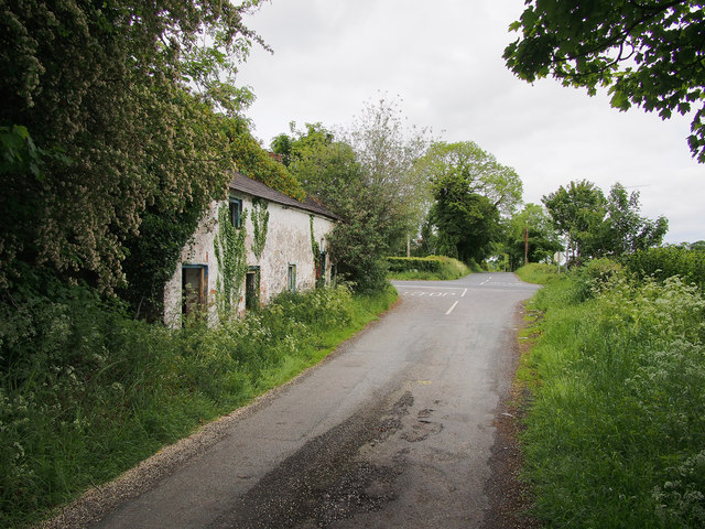
Image: © Rossographer Taken: 28 May 2017
The Derryhaw Road near Middletown approaching the junction with the A3 Armagh-Monaghan Road. The ruined farmhouse on the left has a flush bracket on the north gable wall Image
Images are licensed for reuse under creativecommons.org/licenses/by-sa/2.0
Image Location
Latitude
54.296221
Longitude
-6.787723