Upper footpath on Sugarwell Hill
Introduction
The photograph on this page of Upper footpath on Sugarwell Hill by Stephen Craven as part of the Geograph project.
The Geograph project started in 2005 with the aim of publishing, organising and preserving representative images for every square kilometre of Great Britain, Ireland and the Isle of Man.

There are currently over 7.5m images from over 14,400 individuals and you can help contribute to the project by visiting https://www.geograph.org.uk
Upper footpath on Sugarwell Hill
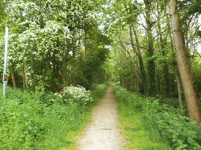
Image: © Stephen Craven Taken: 12 May 2017
There are several footpaths across Sugarwell Hill (a large, and partly wooded open space on the eastern side of the Meanwood Valley). This one runs across the top of the area, just below Potternewton Crescent.
Images are licensed for reuse under creativecommons.org/licenses/by-sa/2.0
Image Location
Latitude
53.824748
Longitude
-1.553333