Harlow Common
Introduction
The photograph on this page of Harlow Common by Glyn Baker as part of the Geograph project.
The Geograph project started in 2005 with the aim of publishing, organising and preserving representative images for every square kilometre of Great Britain, Ireland and the Isle of Man.

There are currently over 7.5m images from over 14,400 individuals and you can help contribute to the project by visiting https://www.geograph.org.uk
Harlow Common
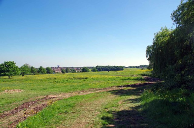
Image: © Glyn Baker Taken: 26 May 2017
Harlow Common http://www.wildessex.net/sites/Harlow%20Latton%20Commons.htm is managed by Harlow Council it is linked by an underpass to Image
Images are licensed for reuse under creativecommons.org/licenses/by-sa/2.0
Image Location


Leaflet Map data © OpenStreetMap
Latitude
51.754864
Longitude
0.136141