St John's Court flats, Weston Close, Warwick
Introduction
The photograph on this page of St John's Court flats, Weston Close, Warwick by Robin Stott as part of the Geograph project.
The Geograph project started in 2005 with the aim of publishing, organising and preserving representative images for every square kilometre of Great Britain, Ireland and the Isle of Man.

There are currently over 7.5m images from over 14,400 individuals and you can help contribute to the project by visiting https://www.geograph.org.uk
St John's Court flats, Weston Close, Warwick
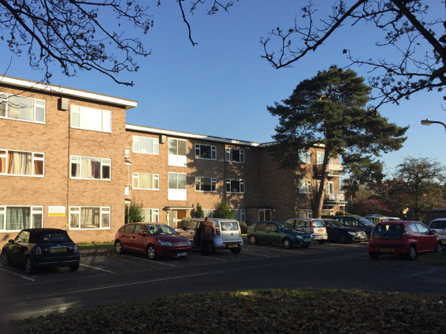
Image: © Robin Stott Taken: 1 Dec 2016
These flats first appear on an OS map of 1968-71. Before that, in the 1951-61 period, maps show what might be temporary housing or a camp. Earlier, from 1887, the land looks like a walled kitchen garden for St John's House, out of shot right, an outwardly 17th-century house on the site of a 13th-century hospital.
Images are licensed for reuse under creativecommons.org/licenses/by-sa/2.0
Image Location


Leaflet Map data © OpenStreetMap
Latitude
52.283384
Longitude
-1.579832