Path, Vange Hill Open Space
Introduction
The photograph on this page of Path, Vange Hill Open Space by Robin Webster as part of the Geograph project.
The Geograph project started in 2005 with the aim of publishing, organising and preserving representative images for every square kilometre of Great Britain, Ireland and the Isle of Man.

There are currently over 7.5m images from over 14,400 individuals and you can help contribute to the project by visiting https://www.geograph.org.uk
Path, Vange Hill Open Space
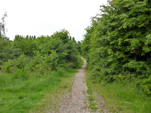
Image: © Robin Webster Taken: 28 May 2017
30 acres of former plotlands lying next to Basildon golf course.
Images are licensed for reuse under creativecommons.org/licenses/by-sa/2.0
Image Location
Latitude
51.560624
Longitude
0.478923