The road to Bodunig and Penffordd Deg
Introduction
The photograph on this page of The road to Bodunig and Penffordd Deg by Christine Johnstone as part of the Geograph project.
The Geograph project started in 2005 with the aim of publishing, organising and preserving representative images for every square kilometre of Great Britain, Ireland and the Isle of Man.

There are currently over 7.5m images from over 14,400 individuals and you can help contribute to the project by visiting https://www.geograph.org.uk
The road to Bodunig and Penffordd Deg
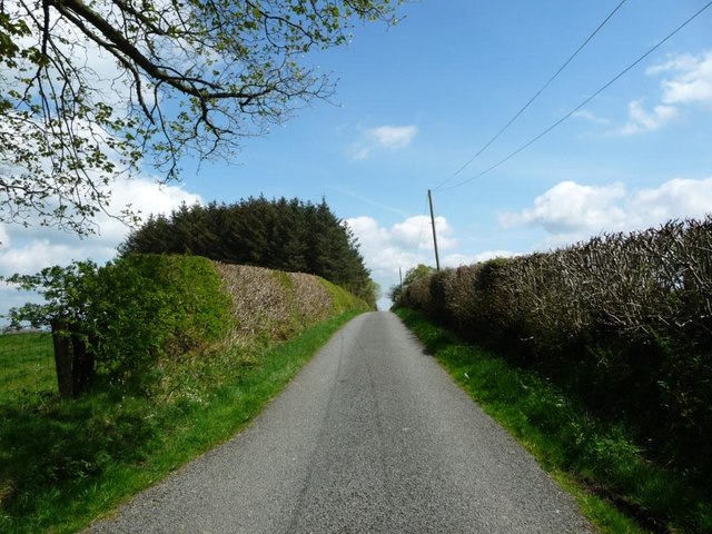
Image: © Christine Johnstone Taken: 2 May 2017
Looking east, towards the western tip of Long Covert.
Images are licensed for reuse under creativecommons.org/licenses/by-sa/2.0
Image Location
Latitude
53.175661
Longitude
-3.728947