Field by Waddeton Road
Introduction
The photograph on this page of Field by Waddeton Road by Derek Harper as part of the Geograph project.
The Geograph project started in 2005 with the aim of publishing, organising and preserving representative images for every square kilometre of Great Britain, Ireland and the Isle of Man.

There are currently over 7.5m images from over 14,400 individuals and you can help contribute to the project by visiting https://www.geograph.org.uk
Field by Waddeton Road
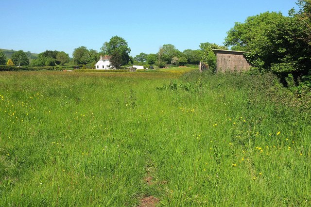
Image: © Derek Harper Taken: 25 May 2017
This lush meadow occupies the eastern side of the crossroads at Four Cross Lanes. The house at Croftwell is in Image Image] looks left from the same spot.
Images are licensed for reuse under creativecommons.org/licenses/by-sa/2.0
Image Location
Latitude
50.40976
Longitude
-3.614157