Southampton Road, Lymington
Introduction
The photograph on this page of Southampton Road, Lymington by David960 as part of the Geograph project.
The Geograph project started in 2005 with the aim of publishing, organising and preserving representative images for every square kilometre of Great Britain, Ireland and the Isle of Man.

There are currently over 7.5m images from over 14,400 individuals and you can help contribute to the project by visiting https://www.geograph.org.uk
Southampton Road, Lymington
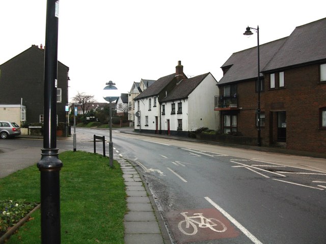
Image: © David960 Taken: 25 Dec 2016
Looking north from Queen Street. The white house is the former Hearts of Oak public house.
Images are licensed for reuse under creativecommons.org/licenses/by-sa/2.0
Image Location
Latitude
50.758135
Longitude
-1.549396