Lane at Conlig
Introduction
The photograph on this page of Lane at Conlig by Albert Bridge as part of the Geograph project.
The Geograph project started in 2005 with the aim of publishing, organising and preserving representative images for every square kilometre of Great Britain, Ireland and the Isle of Man.

There are currently over 7.5m images from over 14,400 individuals and you can help contribute to the project by visiting https://www.geograph.org.uk
Lane at Conlig
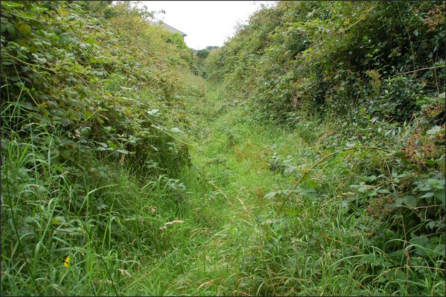
Image: © Albert Bridge Taken: 30 Aug 2007
This overgrown lane runs off the Bangor Road past the reservoir (behind the hedge on the right). Not used very often and full of brambles and chin-high nettles.
Images are licensed for reuse under creativecommons.org/licenses/by-sa/2.0
Image Location


Leaflet Map data © OpenStreetMap
Latitude
54.632517
Longitude
-5.685581