Former playing fields
Introduction
The photograph on this page of Former playing fields by Bill Boaden as part of the Geograph project.
The Geograph project started in 2005 with the aim of publishing, organising and preserving representative images for every square kilometre of Great Britain, Ireland and the Isle of Man.

There are currently over 7.5m images from over 14,400 individuals and you can help contribute to the project by visiting https://www.geograph.org.uk
Former playing fields
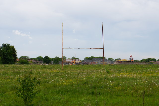
Image: © Bill Boaden Taken: 22 May 2017
These playing fields belonged to part of Wade Deacon High School. Part of the site is now being used for new housing development.
Images are licensed for reuse under creativecommons.org/licenses/by-sa/2.0
Image Location
Latitude
53.378136
Longitude
-2.718648