Scurdie Ness
Introduction
The photograph on this page of Scurdie Ness by Adrian Diack as part of the Geograph project.
The Geograph project started in 2005 with the aim of publishing, organising and preserving representative images for every square kilometre of Great Britain, Ireland and the Isle of Man.

There are currently over 7.5m images from over 14,400 individuals and you can help contribute to the project by visiting https://www.geograph.org.uk
Scurdie Ness
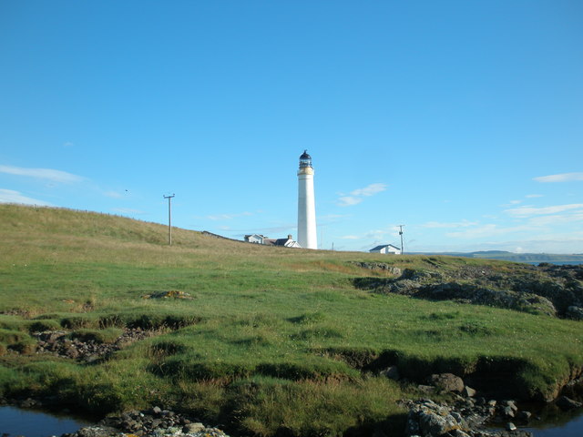
Image: © Adrian Diack Taken: 25 Jul 2016
In addition to the lighthouse with its associated cottages, this photo shows part of the wave-cut platform and raised beach with relic cliff.
Images are licensed for reuse under creativecommons.org/licenses/by-sa/2.0
Image Location
Latitude
56.701604
Longitude
-2.437476