Erme-Plym Trail at A38
Introduction
The photograph on this page of Erme-Plym Trail at A38 by Derek Harper as part of the Geograph project.
The Geograph project started in 2005 with the aim of publishing, organising and preserving representative images for every square kilometre of Great Britain, Ireland and the Isle of Man.

There are currently over 7.5m images from over 14,400 individuals and you can help contribute to the project by visiting https://www.geograph.org.uk
Erme-Plym Trail at A38
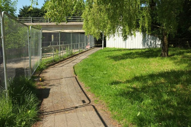
Image: © Derek Harper Taken: 24 May 2017
The trail follows Ivybridge footpath 10 through an underpass beneath the dual carriageway as it crosses the River Erme. Work is taking place beside the river with barriers by the path.
Images are licensed for reuse under creativecommons.org/licenses/by-sa/2.0
Image Location
Latitude
50.385346
Longitude
-3.924208