The River Severn near Aberhafesp
Introduction
The photograph on this page of The River Severn near Aberhafesp by Philip Halling as part of the Geograph project.
The Geograph project started in 2005 with the aim of publishing, organising and preserving representative images for every square kilometre of Great Britain, Ireland and the Isle of Man.

There are currently over 7.5m images from over 14,400 individuals and you can help contribute to the project by visiting https://www.geograph.org.uk
The River Severn near Aberhafesp
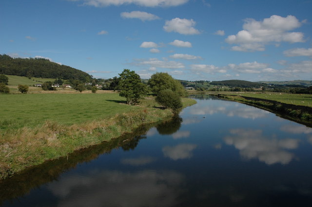
Image: © Philip Halling Taken: 26 Aug 2007
The River Severn viewed from the Festival Bridge, a suspension bridge carrying a footpath. Houses in the small village of Aberhafesp can be seen to the left in the middle distance. Here the river is only some thirty miles from its source and already it is quite wide.
Images are licensed for reuse under creativecommons.org/licenses/by-sa/2.0
Image Location


Leaflet Map data © OpenStreetMap
Latitude
52.52124
Longitude
-3.387858