Directions sign on the approach to Horsetrough Roundabout, Stonehouse
Introduction
The photograph on this page of Directions sign on the approach to Horsetrough Roundabout, Stonehouse by Jaggery as part of the Geograph project.
The Geograph project started in 2005 with the aim of publishing, organising and preserving representative images for every square kilometre of Great Britain, Ireland and the Isle of Man.

There are currently over 7.5m images from over 14,400 individuals and you can help contribute to the project by visiting https://www.geograph.org.uk
Directions sign on the approach to Horsetrough Roundabout, Stonehouse
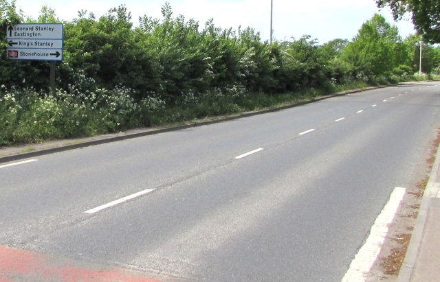
Image: © Jaggery Taken: 7 May 2017
Facing westbound traffic on the B4008 Ebley Road.
Images are licensed for reuse under creativecommons.org/licenses/by-sa/2.0
Image Location
Latitude
51.741133
Longitude
-2.2744