The Earl Howe, Carlton Road
Introduction
The photograph on this page of The Earl Howe, Carlton Road by Alan Murray-Rust as part of the Geograph project.
The Geograph project started in 2005 with the aim of publishing, organising and preserving representative images for every square kilometre of Great Britain, Ireland and the Isle of Man.

There are currently over 7.5m images from over 14,400 individuals and you can help contribute to the project by visiting https://www.geograph.org.uk
The Earl Howe, Carlton Road
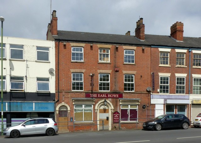
Image: © Alan Murray-Rust Taken: 23 May 2017
Traditional Victorian period public house, which has been closed since around 2013 and is at the time of writing subject to a planning application for conversion to student flats. A similar fate has overtaken the nearby White Lion http://www.geograph.org.uk/photo/4230251 and Duke of Cambridge http://www.geograph.org.uk/photo/5401874 public houses. It appears to have retained the same name throughout its existence.
Images are licensed for reuse under creativecommons.org/licenses/by-sa/2.0
Image Location
Latitude
52.954595
Longitude
-1.136186