Water Meadow and Signal Box
Introduction
The photograph on this page of Water Meadow and Signal Box by Glyn Baker as part of the Geograph project.
The Geograph project started in 2005 with the aim of publishing, organising and preserving representative images for every square kilometre of Great Britain, Ireland and the Isle of Man.

There are currently over 7.5m images from over 14,400 individuals and you can help contribute to the project by visiting https://www.geograph.org.uk
Water Meadow and Signal Box
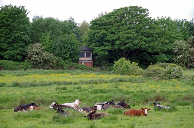
Image: © Glyn Baker Taken: 20 May 2017
The old style signal box stands near the junction of the dismantled permanent way into the Railway Land Local Nature Reserve and the remaining main line.
Images are licensed for reuse under creativecommons.org/licenses/by-sa/2.0
Image Location
Latitude
50.868851
Longitude
0.02062