New estate in Upper Sydenham, Whitnash
Introduction
The photograph on this page of New estate in Upper Sydenham, Whitnash by Robin Stott as part of the Geograph project.
The Geograph project started in 2005 with the aim of publishing, organising and preserving representative images for every square kilometre of Great Britain, Ireland and the Isle of Man.

There are currently over 7.5m images from over 14,400 individuals and you can help contribute to the project by visiting https://www.geograph.org.uk
New estate in Upper Sydenham, Whitnash
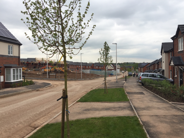
Image: © Robin Stott Taken: 28 Apr 2017
Looking down Admiral Way towards the Whitnash Brook valley. All the roads on this estate are named after butterflies. The developer is A.C.Lloyd, a local firm. This was a greenfield site, part of Green Farm, Whitnash: see Image from 2009, and Image from 2010.
Images are licensed for reuse under creativecommons.org/licenses/by-sa/2.0
Image Location
Latitude
52.271266
Longitude
-1.514292