Junction of the B4256 and Stable Lane, Tredegar
Introduction
The photograph on this page of Junction of the B4256 and Stable Lane, Tredegar by Jaggery as part of the Geograph project.
The Geograph project started in 2005 with the aim of publishing, organising and preserving representative images for every square kilometre of Great Britain, Ireland and the Isle of Man.

There are currently over 7.5m images from over 14,400 individuals and you can help contribute to the project by visiting https://www.geograph.org.uk
Junction of the B4256 and Stable Lane, Tredegar
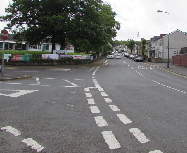
Image: © Jaggery Taken: 23 May 2017
Stable Lane is on the left. This junction is where B4256 Park Row on the camera side becomes the B4256 Park Hill ahead.
Images are licensed for reuse under creativecommons.org/licenses/by-sa/2.0
Image Location
Latitude
51.768551
Longitude
-3.247258