Woodsford: Woodsford Castle
Introduction
The photograph on this page of Woodsford: Woodsford Castle by Chris Downer as part of the Geograph project.
The Geograph project started in 2005 with the aim of publishing, organising and preserving representative images for every square kilometre of Great Britain, Ireland and the Isle of Man.

There are currently over 7.5m images from over 14,400 individuals and you can help contribute to the project by visiting https://www.geograph.org.uk
Woodsford: Woodsford Castle
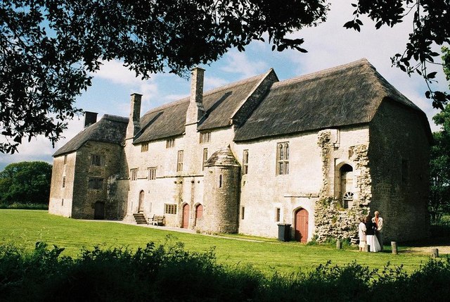
Image: © Chris Downer Taken: Unknown
I can add nothing to the description of this similar picture, whose photographer was less lucky than I with the weather the day he took it: Image
Images are licensed for reuse under creativecommons.org/licenses/by-sa/2.0
Image Location


Leaflet Map data © OpenStreetMap
Latitude
50.712184
Longitude
-2.343975