Lane and trig pillar near Hermon
Introduction
The photograph on this page of Lane and trig pillar near Hermon by Jeff Buck as part of the Geograph project.
The Geograph project started in 2005 with the aim of publishing, organising and preserving representative images for every square kilometre of Great Britain, Ireland and the Isle of Man.

There are currently over 7.5m images from over 14,400 individuals and you can help contribute to the project by visiting https://www.geograph.org.uk
Lane and trig pillar near Hermon
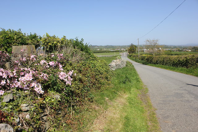
Image: © Jeff Buck Taken: 3 May 2017
The trig pillar seen on the left is at the end of a private garden next to an unnamed lane heading towards Hermon.
Images are licensed for reuse under creativecommons.org/licenses/by-sa/2.0
Image Location
Latitude
53.191331
Longitude
-4.410237