Path leading down to the River Tyne
Introduction
The photograph on this page of Path leading down to the River Tyne by Bill Boaden as part of the Geograph project.
The Geograph project started in 2005 with the aim of publishing, organising and preserving representative images for every square kilometre of Great Britain, Ireland and the Isle of Man.

There are currently over 7.5m images from over 14,400 individuals and you can help contribute to the project by visiting https://www.geograph.org.uk
Path leading down to the River Tyne
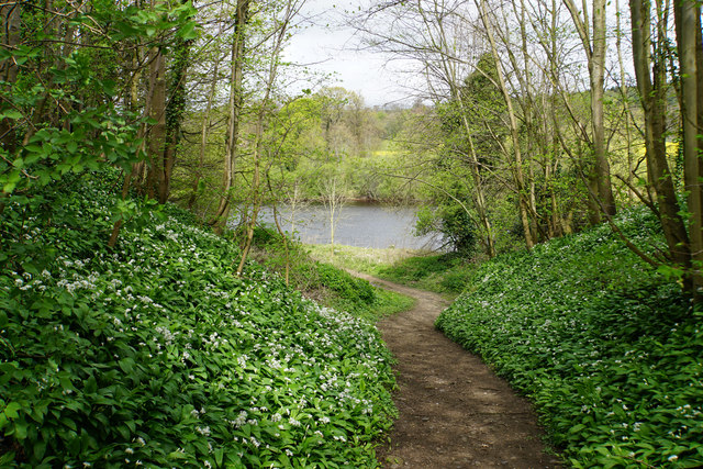
Image: © Bill Boaden Taken: 21 Apr 2017
Not an official path, but well established.
Images are licensed for reuse under creativecommons.org/licenses/by-sa/2.0
Image Location
Latitude
54.949947
Longitude
-1.968432