Level crossing near Aberdovey railway station
Introduction
The photograph on this page of Level crossing near Aberdovey railway station by Jaggery as part of the Geograph project.
The Geograph project started in 2005 with the aim of publishing, organising and preserving representative images for every square kilometre of Great Britain, Ireland and the Isle of Man.

There are currently over 7.5m images from over 14,400 individuals and you can help contribute to the project by visiting https://www.geograph.org.uk
Level crossing near Aberdovey railway station
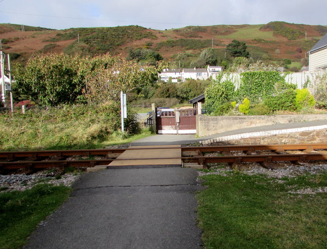
Image: © Jaggery Taken: 17 Oct 2016
From Aberdovey Golf Club across the Cambrian Coast Line railway. The sloping western edge of Aberdovey railway station http://www.geograph.org.uk/photo/5399691 is on the right.
Images are licensed for reuse under creativecommons.org/licenses/by-sa/2.0
Image Location
Latitude
52.544399
Longitude
-4.057383