Postbox BT28 92, Derrykillultagh near Stoneyford (May 2017)
Introduction
The photograph on this page of Postbox BT28 92, Derrykillultagh near Stoneyford (May 2017) by Albert Bridge as part of the Geograph project.
The Geograph project started in 2005 with the aim of publishing, organising and preserving representative images for every square kilometre of Great Britain, Ireland and the Isle of Man.

There are currently over 7.5m images from over 14,400 individuals and you can help contribute to the project by visiting https://www.geograph.org.uk
Postbox BT28 92, Derrykillultagh near Stoneyford (May 2017)
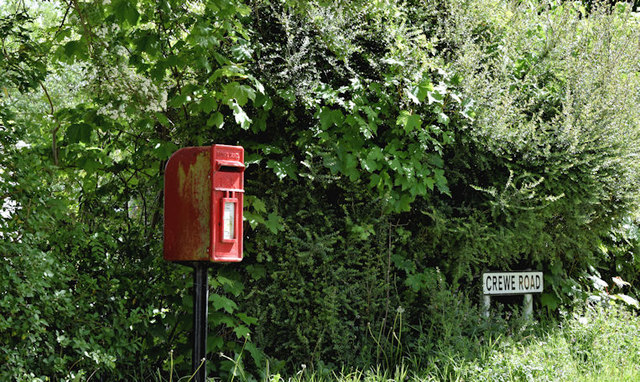
Image: © Albert Bridge Taken: 20 May 2017
Post-mounted EIIR postbox (BT28 92), on the Crewe Road Image, at Killintagh Crossroads.
Images are licensed for reuse under creativecommons.org/licenses/by-sa/2.0
Image Location
Latitude
54.558982
Longitude
-6.159584