The Kipperoch Road near Walton Farm
Introduction
The photograph on this page of The Kipperoch Road near Walton Farm by Lairich Rig as part of the Geograph project.
The Geograph project started in 2005 with the aim of publishing, organising and preserving representative images for every square kilometre of Great Britain, Ireland and the Isle of Man.

There are currently over 7.5m images from over 14,400 individuals and you can help contribute to the project by visiting https://www.geograph.org.uk
The Kipperoch Road near Walton Farm
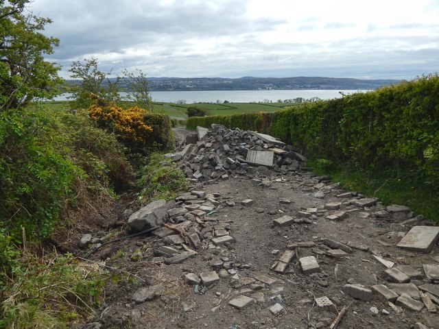
Image: © Lairich Rig Taken: 28 Apr 2017
This is part of a route from the Renton Road to the south-eastern end of Cardross; it is a core path (or rather, since it is partly in Argyll & Bute, and partly in West Dunbartonshire, two core paths end-to-end). Work was taking place nearby: I presume that the material that is shown piled up, and which I had just passed over, was only to be here for a short time, and was being used to improve the path, which is often muddy near here. The Clyde and the hills beyond form the backdrop.
Images are licensed for reuse under creativecommons.org/licenses/by-sa/2.0
Image Location
Latitude
55.961896
Longitude
-4.62834