Riverside, Stockton
Introduction
The photograph on this page of Riverside, Stockton by Richard Vince as part of the Geograph project.
The Geograph project started in 2005 with the aim of publishing, organising and preserving representative images for every square kilometre of Great Britain, Ireland and the Isle of Man.

There are currently over 7.5m images from over 14,400 individuals and you can help contribute to the project by visiting https://www.geograph.org.uk
Riverside, Stockton
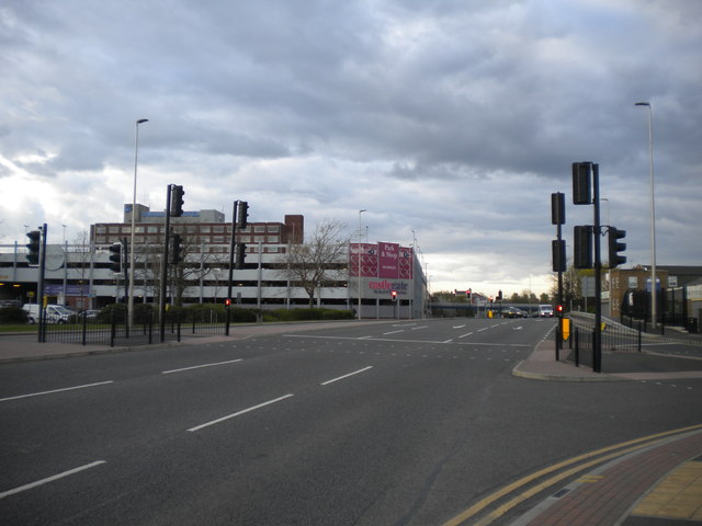
Image: © Richard Vince Taken: 10 Apr 2017
Providing an eastern bypass for Stockton town centre. Seen from the junction with Moat Street (right).
Images are licensed for reuse under creativecommons.org/licenses/by-sa/2.0
Image Location
Latitude
54.560223
Longitude
-1.311061