Hacketts, Church Lane, Henfield
Introduction
The photograph on this page of Hacketts, Church Lane, Henfield by Simon Carey as part of the Geograph project.
The Geograph project started in 2005 with the aim of publishing, organising and preserving representative images for every square kilometre of Great Britain, Ireland and the Isle of Man.

There are currently over 7.5m images from over 14,400 individuals and you can help contribute to the project by visiting https://www.geograph.org.uk
Hacketts, Church Lane, Henfield
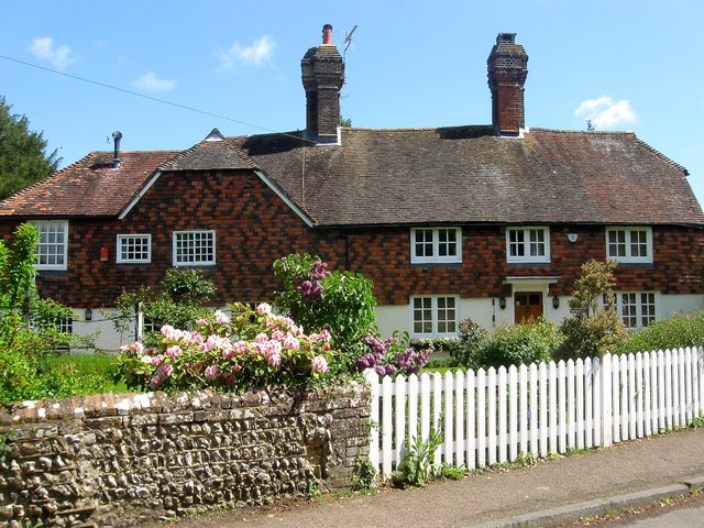
Image: © Simon Carey Taken: 14 May 2017
The building dates from the late 16th century and appears to have been subdivided and rejoined on a number of occasions over the centuries, the last fairly recently when the owner of Hacketts on the left purchased what was known as Duffies to the right to return the building to a single dwelling. Located to the immediate south of the church yard.
Images are licensed for reuse under creativecommons.org/licenses/by-sa/2.0
Image Location
Latitude
50.932794
Longitude
-0.276616