Woodford Avenue, near Gants Hill
Introduction
The photograph on this page of Woodford Avenue, near Gants Hill by Malc McDonald as part of the Geograph project.
The Geograph project started in 2005 with the aim of publishing, organising and preserving representative images for every square kilometre of Great Britain, Ireland and the Isle of Man.

There are currently over 7.5m images from over 14,400 individuals and you can help contribute to the project by visiting https://www.geograph.org.uk
Woodford Avenue, near Gants Hill
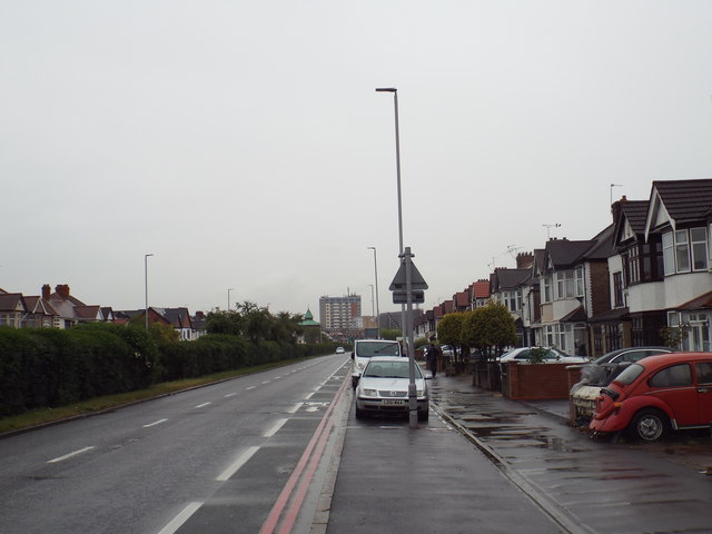
Image: © Malc McDonald Taken: 18 May 2017
The A1400 Woodford Avenue in north east London, looking towards Gants Hill. The road is a dual carriageway, the opposite carriageway is screened by a hedge along the central reservation.
Images are licensed for reuse under creativecommons.org/licenses/by-sa/2.0
Image Location
Latitude
51.580604
Longitude
0.059686