Path to Clunkamoor
Introduction
The photograph on this page of Path to Clunkamoor by Derek Harper as part of the Geograph project.
The Geograph project started in 2005 with the aim of publishing, organising and preserving representative images for every square kilometre of Great Britain, Ireland and the Isle of Man.

There are currently over 7.5m images from over 14,400 individuals and you can help contribute to the project by visiting https://www.geograph.org.uk
Path to Clunkamoor
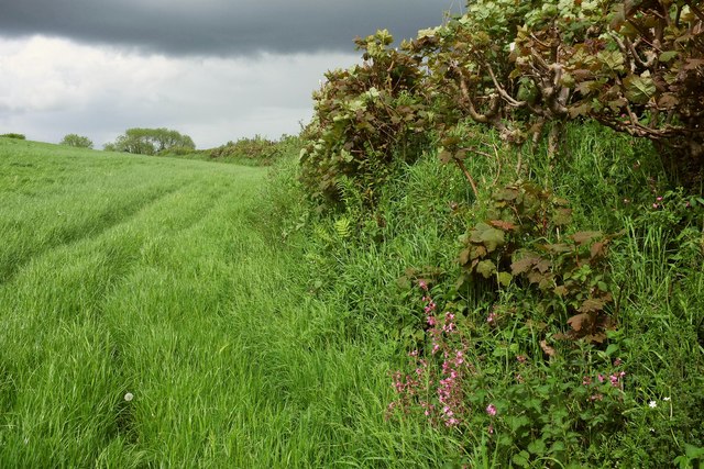
Image: © Derek Harper Taken: 18 May 2017
North Huish Footpath 5 is mapped as crossing directly between gates over this field, but it doesn't add much distance to keep to the edge as other walkers have done.
Images are licensed for reuse under creativecommons.org/licenses/by-sa/2.0
Image Location
Latitude
50.381884
Longitude
-3.803521