Liswerry Drive houses, Llanyravon, Cwmbran
Introduction
The photograph on this page of Liswerry Drive houses, Llanyravon, Cwmbran by Jaggery as part of the Geograph project.
The Geograph project started in 2005 with the aim of publishing, organising and preserving representative images for every square kilometre of Great Britain, Ireland and the Isle of Man.

There are currently over 7.5m images from over 14,400 individuals and you can help contribute to the project by visiting https://www.geograph.org.uk
Liswerry Drive houses, Llanyravon, Cwmbran
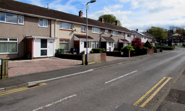
Image: © Jaggery Taken: 12 Apr 2017
Houses on the north side of Liswerry Drive viewed from the corner of Llanyravon Way. The left turn in the distance is into St Bride's Close. http://www.geograph.org.uk/photo/3629015
Images are licensed for reuse under creativecommons.org/licenses/by-sa/2.0
Image Location
Latitude
51.646951
Longitude
-3.007171