Stanton Hill - terraced housing on Cross Row
Introduction
The photograph on this page of Stanton Hill - terraced housing on Cross Row by Dave Bevis as part of the Geograph project.
The Geograph project started in 2005 with the aim of publishing, organising and preserving representative images for every square kilometre of Great Britain, Ireland and the Isle of Man.

There are currently over 7.5m images from over 14,400 individuals and you can help contribute to the project by visiting https://www.geograph.org.uk
Stanton Hill - terraced housing on Cross Row
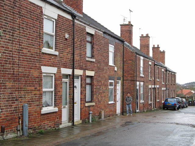
Image: © Dave Bevis Taken: 7 Apr 2016
Road is called Cross Row on OS maps, but Cross Lane on AtoZ maps.
Images are licensed for reuse under creativecommons.org/licenses/by-sa/2.0
Image Location
Latitude
53.140009
Longitude
-1.279273