Douglas Academy
Introduction
The photograph on this page of Douglas Academy by Richard Webb as part of the Geograph project.
The Geograph project started in 2005 with the aim of publishing, organising and preserving representative images for every square kilometre of Great Britain, Ireland and the Isle of Man.

There are currently over 7.5m images from over 14,400 individuals and you can help contribute to the project by visiting https://www.geograph.org.uk
Douglas Academy
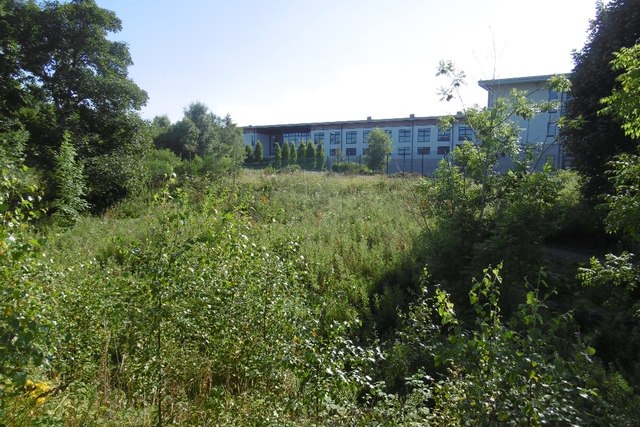
Image: © Richard Webb Taken: 17 Aug 2016
A new school building in Milngavie. 1950s maps show the land here to be the policies of a large house.
Images are licensed for reuse under creativecommons.org/licenses/by-sa/2.0
Image Location
Latitude
55.948546
Longitude
-4.345842