Reeds by the Camel Trail, Wadebridge
Introduction
The photograph on this page of Reeds by the Camel Trail, Wadebridge by Derek Harper as part of the Geograph project.
The Geograph project started in 2005 with the aim of publishing, organising and preserving representative images for every square kilometre of Great Britain, Ireland and the Isle of Man.

There are currently over 7.5m images from over 14,400 individuals and you can help contribute to the project by visiting https://www.geograph.org.uk
Reeds by the Camel Trail, Wadebridge
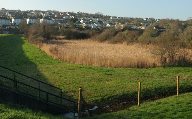
Image: © Derek Harper Taken: 20 Jan 2017
These seem to be filling a pond close to a flood relief barrier (left). Behind is housing to the northwest of the town centre.
Images are licensed for reuse under creativecommons.org/licenses/by-sa/2.0
Image Location
Latitude
50.520007
Longitude
-4.841205