Road to water treatment works, Lomond Hills
Introduction
The photograph on this page of Road to water treatment works, Lomond Hills by Bill Kasman as part of the Geograph project.
The Geograph project started in 2005 with the aim of publishing, organising and preserving representative images for every square kilometre of Great Britain, Ireland and the Isle of Man.

There are currently over 7.5m images from over 14,400 individuals and you can help contribute to the project by visiting https://www.geograph.org.uk
Road to water treatment works, Lomond Hills
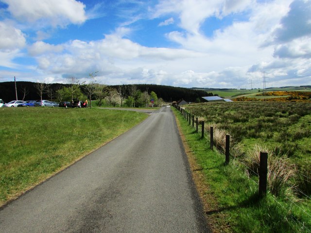
Image: © Bill Kasman Taken: 14 May 2017
This road leads past Holl Reservoir and the water treatment works to a rough path which eventually connects with the road over the hills between Falkland and Leslie not far from Craigmead car park Image] The car park of Lomond Hills Fishery is on the left. The reservoir dam is also on the left just out of shot. See Lomond Hills Regional Park article http://www.geograph.org.uk/article/Lomond-Hills-Regional-Park
Images are licensed for reuse under creativecommons.org/licenses/by-sa/2.0
Image Location
Latitude
56.216792
Longitude
-3.246707