Gulval Village
Introduction
The photograph on this page of Gulval Village by Tony Atkin as part of the Geograph project.
The Geograph project started in 2005 with the aim of publishing, organising and preserving representative images for every square kilometre of Great Britain, Ireland and the Isle of Man.

There are currently over 7.5m images from over 14,400 individuals and you can help contribute to the project by visiting https://www.geograph.org.uk
Gulval Village
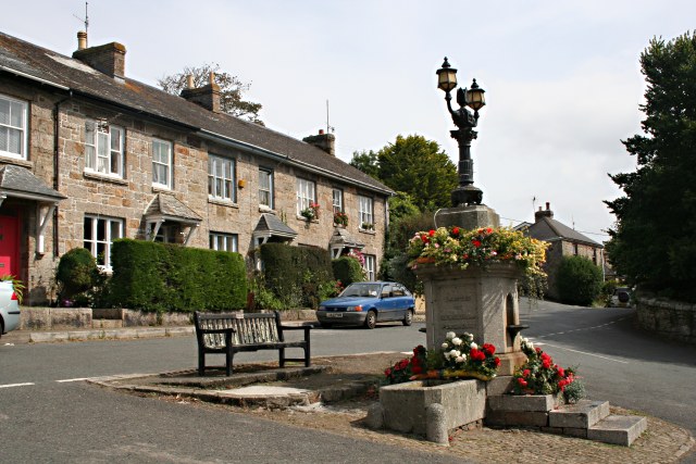
Image: © Tony Atkin Taken: 28 Aug 2007
An ornate drinking fountain, designed for both humans and horses but now used as a floral display, acts as a centrepiece to the road junction north of Gulval church.
Images are licensed for reuse under creativecommons.org/licenses/by-sa/2.0
Image Location
Latitude
50.132909
Longitude
-5.521329