Path on Broad Ing
Introduction
The photograph on this page of Path on Broad Ing by Bill Boaden as part of the Geograph project.
The Geograph project started in 2005 with the aim of publishing, organising and preserving representative images for every square kilometre of Great Britain, Ireland and the Isle of Man.

There are currently over 7.5m images from over 14,400 individuals and you can help contribute to the project by visiting https://www.geograph.org.uk
Path on Broad Ing
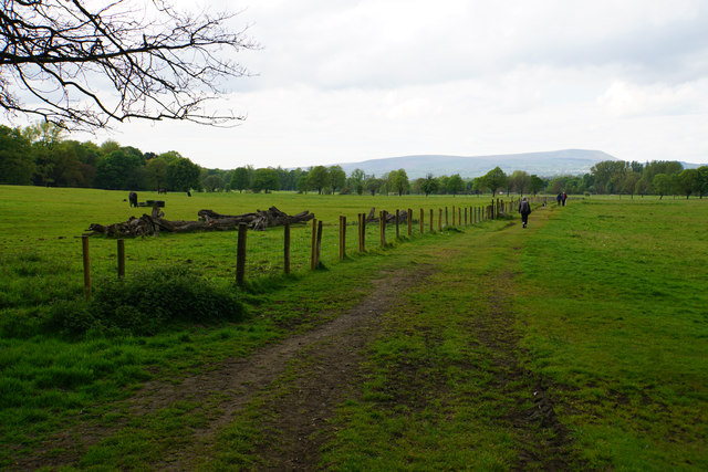
Image: © Bill Boaden Taken: 13 May 2017
Heading towards Towneley Park. An ing is generally expected to flood in winter, but this looks firm and dry now.
Images are licensed for reuse under creativecommons.org/licenses/by-sa/2.0
Image Location
Latitude
53.770028
Longitude
-2.210394