Arkleston Road
Introduction
The photograph on this page of Arkleston Road by Thomas Nugent as part of the Geograph project.
The Geograph project started in 2005 with the aim of publishing, organising and preserving representative images for every square kilometre of Great Britain, Ireland and the Isle of Man.

There are currently over 7.5m images from over 14,400 individuals and you can help contribute to the project by visiting https://www.geograph.org.uk
Arkleston Road
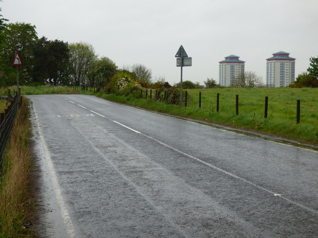
Image: © Thomas Nugent Taken: 15 May 2017
A well known rat-run road through farmland between The M8 Junction 27 and the east end of Paisley. Not recommended for walking due to the absence of a footpath.
Images are licensed for reuse under creativecommons.org/licenses/by-sa/2.0
Image Location
Latitude
55.85776
Longitude
-4.397733